taiwanren.cc - 最全的電商商品價格比較,價格查詢,歷史價格查詢站點
臺北歷史地圖散步(英文版) 歷史價格(單位:新台幣)
臺北歷史地圖散步(英文版) 描述
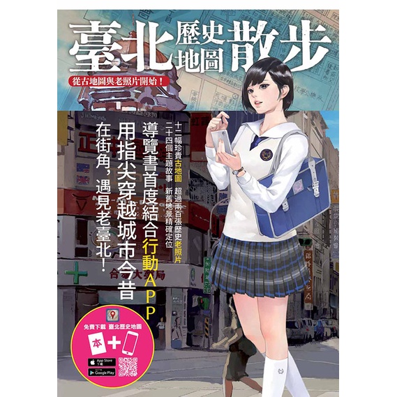
中央研究院數位文化中心於2016年製作出版之《臺北歷史地圖散步》,為國內首度結合行動APP的導覽書,廣受好評。特於今(2017)年8月底進一步推出英譯版Walking into Taipei’s Past and Present,以饗讀者,並讓國際間得以深入了解臺北市的時代變遷、歷史文化。本書精選12幀最早回溯至1895年的歷史古地圖、逾200幀老照片,創新結合免費行動裝置APP「臺北歷史地圖」,運用「地理資訊系統」(GIS)技術,對比今日Google地圖與街景影像,讓使用者滑動指尖即能穿越時空,在街角遇見老臺北,是國內導覽書首創之全新體驗。此外,亦特聘專家針對24個主題撰寫專文,穿越歷史掌故、人文背景與奇聞軼事,對照地圖與照片,詳實呈現歷史切片。
The past history of Taipei has been buried gradually in peoples’ memories after generations and regime changes but clues to the past still remain.
When turning a corner, we may suddenly stumble on a street view that may have been familiar before – the features of the past may be hidden within our modern city.
The daily lives of the people in bygone generations still have surprising connections to our own lives.
This book has selected 12 historical maps from 1895, and over 200 old photos. Using the Geographic Information System (GIS) technique, the book integrates old and new maps, allowing users to travel in time while walking around the city.
Furthermore, the book even combines with the free “Taipei Historical Maps” mobile APP. If users scan the QR Code of the destinations, then it will link directly to the APP maps and the users can instantly see streetscape photos of past and present. It is the first ever guide book to combine annotated street photos from two different timelines to allow readers to experience travel through time and space.
Experts in the fields of history and the humanities were invited to write articles and fascinating stories based around 24 themes. The readers are invited to compare the maps and photos, while vividly experiencing historical detail designed to fuel their imaginations.
臺北歷史地圖散步(英文版) 商品選項
臺北歷史地圖散步(英文版) 屬性
臺北歷史地圖散步(英文版) 用戶評測
分享鏈接
臺北歷史地圖散步(英文版) 相關商品
-
 臺北歷史地圖散步(英文版) 價格比較,價格查詢,價格監測詳細信息
 -
 臺北歷史地圖散步 /中央研究院數位文化中心 價格比較,價格查詢,價格監測詳細信息
 -
 臺北歷史地圖散步<啃書> 價格比較,價格查詢,價格監測詳細信息
 -
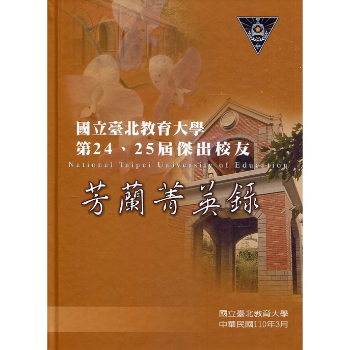
 國立臺北教育大學第24、25屆傑出校友芳蘭菁英錄 國立臺北教育大學 五南文化廣場 政府出版品 價格比較,價格查詢,價格監測詳細信息
 -
 教育座標 國立臺北教育大學 五南文化廣場 政府出版品 價格比較,價格查詢,價格監測詳細信息
 -
 運動百靈果 Bilingual-PE 國立臺北教育大學 政府出版品 五南文化 體育教學 運動安全 體育教學法 工具書 價格比較,價格查詢,價格監測詳細信息
 -
 潘惠森劇本集.昆蟲系列-螳螂捕蟬 國立臺北藝術大學出版組 五南文化廣場 政府出版品 價格比較,價格查詢,價格監測詳細信息
 -
 國民小學系統性體育教學方案 國立臺北教育大學 五南文化廣場 政府出版品 價格比較,價格查詢,價格監測詳細信息
 -
 身論集 壹: 尋.找.亞.洲.身.體 國立臺北藝術大學 理論研究 表演創作 藝術創作手稿 來創造身體 五南 政府出版品 價格比較,價格查詢,價格監測詳細信息
 -
 潘惠森劇本集.昆蟲系列-螞蟻上樹 國立臺北藝術大學出版組 五南文化廣場 政府出版品 價格比較,價格查詢,價格監測詳細信息
 -
 潘惠森劇本集.昆蟲系列-雞春咁大隻曱甴兩頭岳 國立臺北藝術大學出版組 五南文化廣場 政府出版品 價格比較,價格查詢,價格監測詳細信息
 -
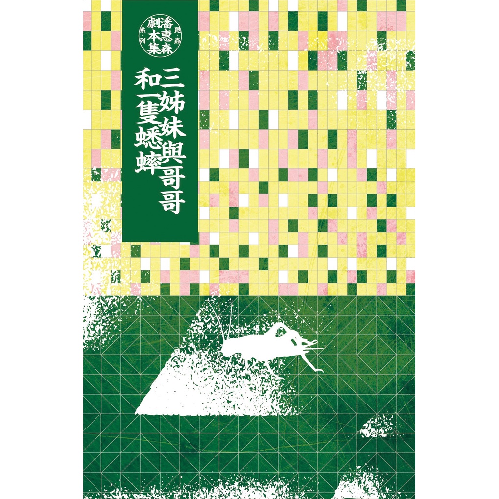
 潘惠森劇本集.昆蟲系列-三姊妹與哥哥和一隻蟋蟀 國立臺北藝術大學出版組 五南文化廣場 政府出版品 價格比較,價格查詢,價格監測詳細信息
© 2025 www.taiwanren.cc All Rights Reserved. 最全的電商商品價格比較,價格查詢,歷史價格查詢站點


